Mount Matheson (Ellsworthland)
Utsehn
| Mount Matheson (Ellsworthland) | ||
|---|---|---|
| Barggrupp: | Merrick Mountains | |
| Hööchd: | 1.400 m över de See | |
| Laag: | Ellsworthland, Westantarktika | |
| Kuntinent: | Antarktika | |
| Normaalweg | Hoochtour (vergletschert) | |
| Koordinaten: | Koordinaten:75° 5′ S, 72° 10′ W75° 5′ S, 72° 10′ W | |
|
| ||
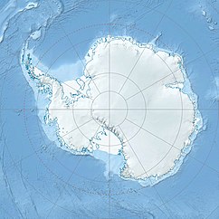
Mount Matheson is en üm un bi 1.400 m över de See hogen Barg in Ellsworthland, Westantarktika. He liggt üm un bi 3 km noordwesten von’n Mount Boyer in de Merrick Mountains.
De United States Geological Survey hett em mit egen Meetarbeiden un Luftopnahmen von de United States Navy ut de Johren von 1961 bet 1967 karteert. Dat Advisory Committee on Antarctic Names hett em 1966 na’n US-amerikaanschen Ionosphärenphysiker Lorne D. Matheson nöömt, de in dat Johr 1963 op de Eights-Statschoon insett weer.
Weblenken
[ännern | Bornkood ännern]- Mount Matheson in dat Geographic Names Information System von’n United States Geological Survey (engelsch)
- Mount Matheson op geographic.org (engelsch)

