Guarcello Peak
Utsehn
| Guarcello Peak | ||
|---|---|---|
| Barggrupp: | Enterprise Hills, Heritage Range, Ellsworthbargen | |
| Hööchd: | 2.050 m över de See | |
| Laag: | Ellsworthland, Westantarktika | |
| Kuntinent: | Antarktika | |
| Koordinaten: | Koordinaten:79° 55′ S, 83° 10′ W79° 55′ S, 83° 10′ W | |
|
| ||

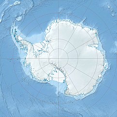
De Guarcello Peak is en 2.050 m över de See hogen Topp von de Enterprise Hills in Ellsworthland, Westantarktika.[1]
He liggt in’n süüdwesten Deel von de Enterprise Hills, an’t Koppenn von’t Horseshoe Valley. Üm un bi 5,6 Kilometer in’n Noordnoordwesten liggt de Mount Dolence un in’n Süüdoosten de Chappell Peak.
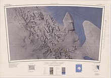
De Topp is in de Johren 1961 bet 1966 von’n United States Geological Survey mit Meetarbeiden un Luftopnahmen von de United States Navy karteert worrn. Nöömt is de Guarcello Peak von dat Advisory Committee on Antarctic Names na Dominic Guarcello, en Meteoroloog, de 1958 op de amerikaansche Antarktisstatschoon Little America V arbeidt hett.[1]
Footnoten
[ännern | Bornkood ännern]- ↑ a b Guarcello Peak in dat Geographic Names Information System von’n United States Geological Survey (engelsch)

