Bystander-Nunatak
Utsehn
| Bystander-Nunatak | ||
|---|---|---|
| Barggrupp: | Usarp Mountains, Transantarktische Bargen | |
| Hööchd: | 2.435 m över de See | |
| Laag: | Viktorialand, Oostantarktika | |
| Kuntinent: | Antarktika | |
| Normaalweg | Hoochtour (vergletschert) | |
| Koordinaten: | Koordinaten:71° 20′ S, 159° 40′ O71° 20′ S, 159° 40′ O | |
|
| ||
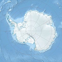
De Bystander-Nunatak is en 2.435 m över de See hogen Nunatak in dat Viktorialand in Oostantarktika. In de Usarp Mountains stiggt he 8 km süüdwesten von Forsythe Bluff op de Westsied von de Daniels Range op.
De Noordgrupp von de New Zealand Geological Survey Antarctic Expedition 1963 bet 1964 hett em nöömt. De Naam kummt von de isoleerte Laag.
Weblenken
[ännern | Bornkood ännern]- Bystander Nunatak in dat Geographic Names Information System von’n United States Geological Survey (engelsch)
- Bystander Nunatak op geographic.org (engelsch)

