
Bild:Location of Serbia in Europe (2006–2008).png

Grött vun disse Vörschuu: 685 × 600 Pixels. Anner Oplösungen: 274 × 240 Pixels | 548 × 480 Pixels | 877 × 768 Pixels | 1.170 × 1.024 Pixels | 2.056 × 1.800 Pixels.
Originaldatei (2.056 × 1.800 Pixel, Grött: 367 KB, MIME-Typ: image/png)
| Disse Datei warrt direkt vun Wikimedia Commons inbunnen. Angaven to'n Autor un de Lizenz staht op de Sied to de Datei bi Commons. |
.png)
Beschrieven
| Beschrievung |
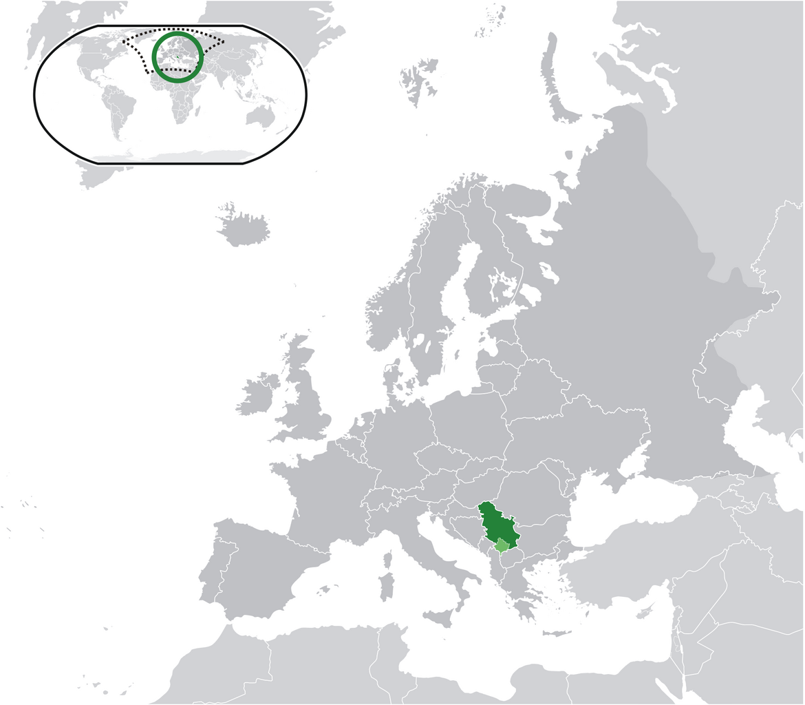
English: Location map: Serbia (dark green) / Kosovo (light green) / Europe (all green & dark grey); inspired by and consistent with general country locator maps by User:Vardion, et al |
| Datum/Tiet | |
| Born | Egen Wark |
| Autor | Bosonic dressing |
| Lizenz/Verlööv (Disse Datei annerwegens bruken) |
No |
Lizenz
| Ich, der Urheberrechtsinhaber dieses Werkes, veröffentliche es als gemeinfrei. Dies gilt weltweit. Wenn dat na lokale Rechtslaag nich mööglich is, gellt: Ich gewähre jedem das bedingungslose Recht, dieses Werk für jedweden Zweck zu nutzen, es sei denn, Bedingungen sind gesetzlich erforderlich. |
Datei-Historie
Klick op de Tiet, dat du de Datei ankieken kannst, so as se do utseeg.
.png&dir=prev)
.png&offset=20090616034028)
.png&offset=&limit=20)
.png&offset=&limit=50)
.png&offset=&limit=100)
.png&offset=&limit=250)
.png&offset=&limit=500)
| Datum/Tiet | Duumnagelbild | Grött | Bruker | Kommentoor | |
|---|---|---|---|---|---|
| aktuell | 10:28, 17. Jun. 2009 | | 2.056 × 1.800 (367 KB) | Bosonic dressing | Serbia (dark green) / Kosovo (light green) / Europe (all green & dark grey); inspired by and consistent with general country locator maps by User:Vardion, et al - updated (!) - wider scope (fix UK, Faeroes) |
| 10:26, 17. Jun. 2009 |  | 2.056 × 1.800 (366 KB) | Bosonic dressing | Serbia (dark green) / Kosovo (light green) / Europe (all green & dark grey); inspired by and consistent with general country locator maps by User:Vardion, et al - updated (!) - wider scope (fix UK, Faeroes) | |
| 07:59, 17. Jun. 2009 |  | 2.056 × 1.800 (366 KB) | Bosonic dressing | Serbia (dark green) / Kosovo (light green) / Europe (all green & dark grey); inspired by and consistent with general country locator maps by User:Vardion, et al - updated (!) - wider scope (fix UK, Faeroes) | |
| 11:45, 16. Jun. 2009 |  | 2.056 × 1.800 (366 KB) | Bosonic dressing | Serbia (dark green) / Kosovo (light green) / Europe (all green & dark grey); inspired by and consistent with general country locator maps by User:Vardion, et al - updated (!) - wider scope (fix UK) | |
| 11:09, 16. Jun. 2009 |  | 2.056 × 1.800 (367 KB) | Bosonic dressing | Serbia (dark green) / Kosovo (light green) / Europe (all green & dark grey); inspired by and consistent with general country locator maps by User:Vardion, et al - updated (!) - wider scope | |
| 10:20, 16. Jun. 2009 |  | 2.056 × 1.800 (368 KB) | Bosonic dressing | Serbia (dark green) / Kosovo (light green) / Europe (all green & dark grey); inspired by and consistent with general country locator maps by User:Vardion, et al - updated (!) - wider scope | |
| 08:35, 16. Jun. 2009 |  | 2.056 × 1.731 (365 KB) | Bosonic dressing | Serbia (dark green) / Kosovo (light green) / Europe (all green & dark grey); inspired by and consistent with general country locator maps by User:Vardion, et al - updated (!) | |
| 06:19, 16. Jun. 2009 |  | 2.056 × 1.731 (365 KB) | Bosonic dressing | Serbia (dark green) / Kosovo (light green) / Europe (all green & dark grey); inspired by and consistent with general country locator maps by User:Vardion, et al - updated | |
| 05:42, 16. Jun. 2009 |  | 2.056 × 1.731 (341 KB) | Bosonic dressing | Serbia (dark green) / Kosovo (light green) / Europe (all green & dark grey); inspired by and consistent with general country locator maps by User:Vardion, et al - updated | |
| 05:40, 16. Jun. 2009 |  | 2.056 × 1.727 (343 KB) | Bosonic dressing | Serbia (dark green) / Kosovo (light green) / Europe (all green & dark grey); inspired by and consistent with general country locator maps by User:Vardion, et al - updated |
Dateibruuk
Kene Siet bruukt dat Bild.
Allmeen Datei-Bruuk
Disse annern Wikis bruukt disse Datei:
- Bruuk op ami.wikipedia.org
- Bruuk op ar.wikipedia.org
- Bruuk op azb.wikipedia.org
- Bruuk op bh.wikipedia.org
- Bruuk op bo.wikipedia.org
- Bruuk op bs.wikipedia.org
- Bruuk op ch.wikipedia.org
- Bruuk op cs.wikiquote.org
- Bruuk op da.wikipedia.org
- Bruuk op de.wikipedia.org
- Bruuk op dv.wikipedia.org
- Bruuk op ee.wikipedia.org
- Bruuk op el.wikipedia.org
- Bruuk op en.wikipedia.org
- Bruuk op en.wiktionary.org
- Bruuk op eo.wikipedia.org
- Bruuk op fa.wikipedia.org
- Bruuk op ff.wikipedia.org
- Bruuk op gag.wikipedia.org
- Bruuk op hr.wikipedia.org
- Bruuk op hr.wikiquote.org
- Bruuk op ig.wikipedia.org
- Bruuk op incubator.wikimedia.org
- Bruuk op koi.wikipedia.org
- Bruuk op krc.wikipedia.org
- Bruuk op lfn.wikipedia.org
- Bruuk op ltg.wikipedia.org
- Bruuk op lt.wiktionary.org
- Bruuk op lv.wikipedia.org
- Bruuk op mi.wikipedia.org
- Bruuk op mzn.wikipedia.org
- Bruuk op nn.wikipedia.org
Kiek na mehr almeen Bruuk von disse Datei.
.png)
.png)