
Bild:Map of Montana highlighting Hill County.svg

Größe der PNG-Vorschau dieser SVG-Datei: 800 × 461 Pixels. Anner Oplösungen: 320 × 185 Pixels | 640 × 369 Pixels | 1.024 × 591 Pixels | 1.280 × 738 Pixels | 2.560 × 1.477 Pixels | 9.194 × 5.303 Pixels.
Originaldatei (SVG-Datei, Utgangsgrött: 9.194 × 5.303 Pixel, Dateigrött: 122 KB)
| Disse Datei warrt direkt vun Wikimedia Commons inbunnen. Angaven to'n Autor un de Lizenz staht op de Sied to de Datei bi Commons. |
Beschrieven
| Beschrievung |
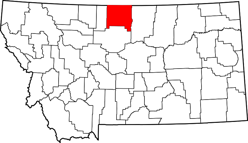
English: This is a locator map showing Hill County in Montana. For more information, see Commons:United States county locator maps. |
| Datum/Tiet | |
| Born |
Egen Wark: English: The maps use data from nationalatlas.gov, specifically countyp020.tar.gz on the Raw Data Download page. The maps also use state outline data from statesp020.tar.gz. The Florida maps use hydrogm020.tar.gz to display Lake Okeechobee. |
| Autor | David Benbennick |
Lizenz
| Ich, der Urheberrechtsinhaber dieses Werkes, veröffentliche es als gemeinfrei. Dies gilt weltweit. Wenn dat na lokale Rechtslaag nich mööglich is, gellt: Ich gewähre jedem das bedingungslose Recht, dieses Werk für jedweden Zweck zu nutzen, es sei denn, Bedingungen sind gesetzlich erforderlich. |
Datei-Historie
Klick op de Tiet, dat du de Datei ankieken kannst, so as se do utseeg.
| Datum/Tiet | Duumnagelbild | Grött | Bruker | Kommentoor | |
|---|---|---|---|---|---|
| aktuell | 15:29, 12. Feb. 2006 | | 9.194 × 5.303 (122 KB) | David Benbennick | {{subst:User:Dbenbenn/clm|county=Hill County|state=Montana|type=county}} |
Dateibruuk
Disse Sied bruukt dit Bild:
Allmeen Datei-Bruuk
Disse annern Wikis bruukt disse Datei:
- Bruuk op ar.wikipedia.org
- Bruuk op bg.wikipedia.org
- Bruuk op bpy.wikipedia.org
- Bruuk op cdo.wikipedia.org
- Bruuk op ceb.wikipedia.org
- Bruuk op cy.wikipedia.org
- Bruuk op de.wikipedia.org
- Bruuk op en.wikipedia.org
- List of counties in Montana
- Hill County, Montana
- Rocky Boy's Agency, Montana
- Beaver Creek, Montana
- Gildford, Montana
- Havre, Montana
- Havre North, Montana
- Herron, Montana
- Hingham, Montana
- Inverness, Montana
- Kremlin, Montana
- Rudyard, Montana
- Saddle Butte, Montana
- Sangrey, Montana
- St. Pierre, Montana
- West Havre, Montana
- Azure, Montana
- Box Elder, Montana
- Parker School, Montana
- Fort Assinniboine
- Turtle Mountain Indian Reservation
- Laredo, Montana
- User:Nyttend/County templates/MT
- Template:Hill County, Montana
- List of lakes of Hill County, Montana
- List of mountains in Hill County, Montana
- United States Post Office and Courthouse–Havre Main
- Category:Populated places in Hill County, Montana
- Carnegie Public Library (Havre, Montana)
- H. Earl Clack House
- Havre Residential Historic District
- Heltne Oil Company
- Kiwanis Meeting Hall
- Too Close for Comfort Site
- Young–Almas House
- Rocky Boy West, Montana
- East End Colony, Montana
- Gildford Colony, Montana
Kiek na mehr almeen Bruuk von disse Datei.