
Bild:C78192s1 Ant.Map Mount Discovery.jpg

Grött vun disse Vörschuu: 602 × 600 Pixels. Anner Oplösungen: 241 × 240 Pixels | 482 × 480 Pixels | 771 × 768 Pixels | 1.028 × 1.024 Pixels | 2.055 × 2.048 Pixels | 3.080 × 3.069 Pixels.
Originaldatei (3.080 × 3.069 Pixel, Grött: 2,34 MB, MIME-Typ: image/jpeg)
| Disse Datei warrt direkt vun Wikimedia Commons inbunnen. Angaven to'n Autor un de Lizenz staht op de Sied to de Datei bi Commons. |
| Beschrievung |
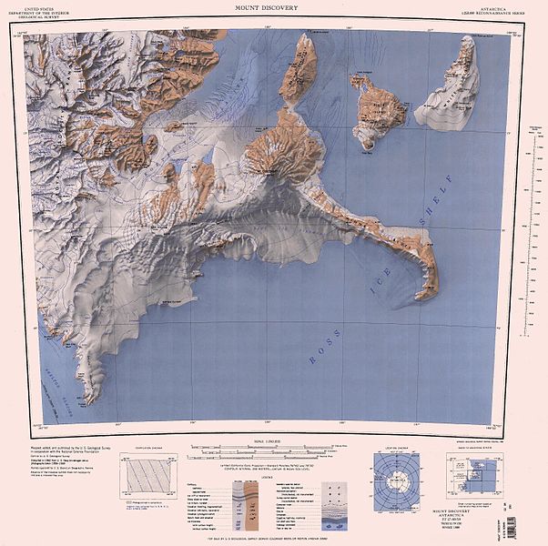
English: Map of Antarctica by the United States Antarctic Resource Center of the US Geological Society. |
| Born | USGS |
| Autor | USGS |
Dieses Bild ist gemeinfrei (public domain), weil es Materialien beeinhaltet, die ursprünglich vom United States Geological Survey, einer Behörde des Innenministeriums der Vereinigten Staaten, stammen. Weitere Informationen finden Sie in den Urheberrechtsbestimmungen des USGS
|
Datei-Historie
Klick op de Tiet, dat du de Datei ankieken kannst, so as se do utseeg.
| Datum/Tiet | Duumnagelbild | Grött | Bruker | Kommentoor | |
|---|---|---|---|---|---|
| aktuell | 20:12, 23. Nov. 2015 | | 3.080 × 3.069 (2,34 MB) | ValeriySh | Обрізка зайвого поля |
| 11:51, 4. Apr. 2005 |  | 4.358 × 3.253 (1,44 MB) | Achim Raschka | Map of Antarctica by the United States Antarctic Ressource Center of the US Geological Society. {{PD-US}} Copyrights and Trademarks USGS-authored or produced data and information are in the public domain. While the content of most USGS web pages is in th |
Dateibruuk
Disse Sieden bruukt dit Bild:
Allmeen Datei-Bruuk
Disse annern Wikis bruukt disse Datei:
- Bruuk op bg.wikipedia.org
- Bruuk op ceb.wikipedia.org
- Bruuk op de.wikipedia.org
- Antarktische Trockentäler
- Royal Society Range
- Minna Bluff
- White Island (Ross-Archipel)
- Black Island (Ross-Archipel)
- Mount Rucker
- Koettlitz-Gletscher
- Skelton-Gletscher
- Rutgers-Gletscher
- Johns Hopkins Ridge
- Mount Henderson (White Island)
- Isolation Point
- Marshall Valley
- Denton Hills
- Heald-Insel
- Ward Lake
- The Bulwark
- Shults-Halbinsel
- Brown-Halbinsel
- Mount Aurora
- Kap Beck
- Hahn Island
- Bishop Peak
- Diskussion:Borg Bastion
- Bowden-Gletscher
- Salient Ridge
- Bratina Island
- Bratina-Lagune
- Mount Nesos
- Lake Cole
- Mount Melania
- Mount Vision
- Dreary Isthmus
- Eastface-Nunatak
- Rainbow Ridge
- Scallop Hill
- Cape Spirit
- Mount Hayward
- Mount Heine
- Kap Hodgson
- Rucker Ridge
- Minna Hook
- Minna Saddle
- Moraine Bluff
Kiek na mehr almeen Bruuk von disse Datei.