
Bild:C77198s1 Ant.Map Taylor Glacier.jpg

Grött vun disse Vörschuu: 795 × 600 Pixels. Anner Oplösungen: 318 × 240 Pixels | 637 × 480 Pixels | 1.018 × 768 Pixels | 1.280 × 965 Pixels | 2.560 × 1.931 Pixels | 4.312 × 3.252 Pixels.
Originaldatei (4.312 × 3.252 Pixel, Grött: 1,45 MB, MIME-Typ: image/jpeg)
| Disse Datei warrt direkt vun Wikimedia Commons inbunnen. Angaven to'n Autor un de Lizenz staht op de Sied to de Datei bi Commons. |
Beschrieven
| Beschrievung |
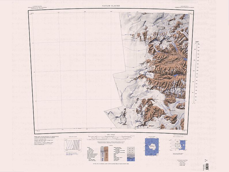
English: 1:250,000-scale topographic reconnaissance map of the Taylor Glacier area from 156°-162'E to 77°-78°S in Antarctica. Mapped, edited and published by the U.S. Geological Survey in cooperation with the National Science Foundation. |
|||
| Datum/Tiet | ||||
| Born | http://usarc.usgs.gov/drg_dload.shtml | |||
| Autor | United States Geological Survey | |||
| Lizenz/Verlööv (Disse Datei annerwegens bruken) |
|
| Annotations | This image is annotated: View the annotations at Commons |
Datei-Historie
Klick op de Tiet, dat du de Datei ankieken kannst, so as se do utseeg.
| Datum/Tiet | Duumnagelbild | Grött | Bruker | Kommentoor | |
|---|---|---|---|---|---|
| aktuell | 15:30, 17. Apr. 2013 | | 4.312 × 3.252 (1,45 MB) | 4ing | == {{int:filedesc}} == {{Information |description={{en|1=1:250,000-scale topographic reconnaissance map of the Taylor Glacier area from 156°-162'E to 77°-78°S in Antarctica. Mapped, edited and published by the U.S. Geological Survey in cooperation w... |
Dateibruuk
Disse Sieden bruukt dit Bild:
Allmeen Datei-Bruuk
Disse annern Wikis bruukt disse Datei:
- Bruuk op ceb.wikipedia.org
- Bruuk op de.wikipedia.org
- Antarktische Trockentäler
- Mackay-Gletscher
- Depot-Nunatak
- Clare Range
- Gondola Ridge
- Taylor-Gletscher (Viktorialand)
- Quartermain Mountains
- Mount Handsley
- Beacon Heights
- Pyramid Mountain (Viktorialand)
- Turnabout Valley
- Willett Range
- Balham Valley
- Insel Range
- Apocalypse Peaks
- McKelvey Valley
- Barwick Valley
- Northwest Mountain
- Beehive Mountain
- The Fortress (Antarktika)
- Lashly Mountains
- West Beacon
- Mount DeWitt
- Bullseye Lake
- Canoe-Nunatak
- Pegtop Mountain
- Head Mountains
- Bruuk op en.wikipedia.org
Kiek na mehr almeen Bruuk von disse Datei.